DroneDeploy
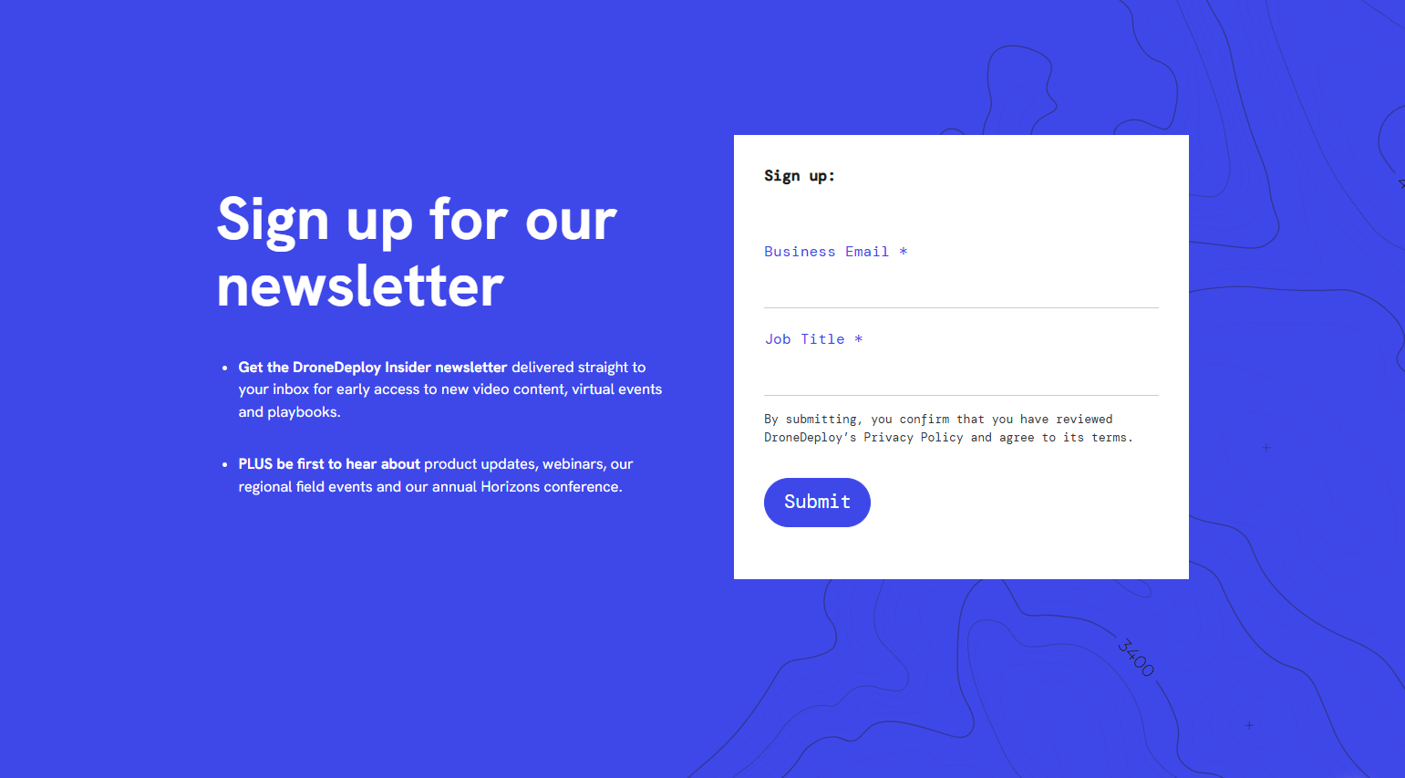
Newsletter Signup
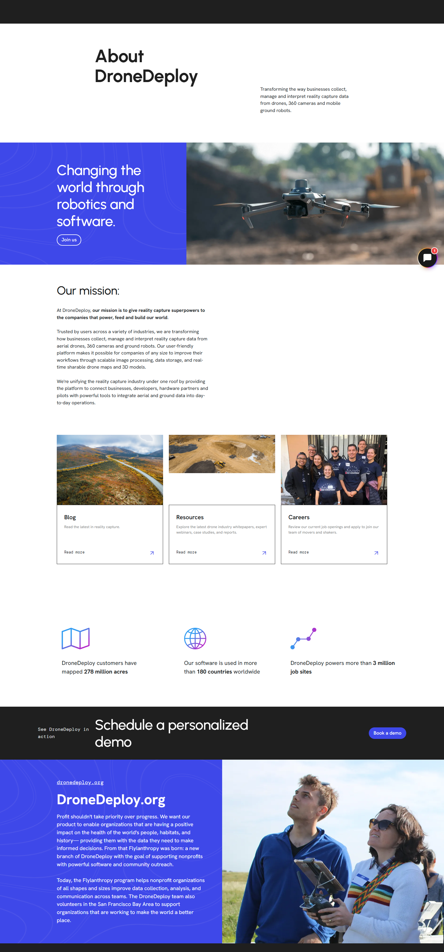
Drone mapping and reality capture platform that provides aerial imagery, site analysis, and project monitoring tools.
Construction companies, surveyors, infrastructure inspectors, agriculture professionals, and enterprises using drones for aerial data collection and analysis


SaasBoat is a SaaS research library for product designers, PMs, and developers. We document real SaaS products in depth — capturing marketing screenshots, UI screenshots, user flow diagrams, heuristic evaluations, and micro-interaction animations — so you can learn from what’s already working.

©2026. SaaS Boat. All rights reserved.